
Galveston Tides
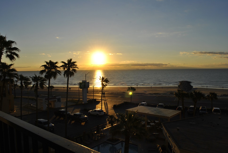
Photo by Francisco Jose Zangerolame
Galveston Tides
Understanding Galveston Tides: What You Need to Know
Whether you’re a seasoned local or a first-time visitor, understanding the tides in Galveston can significantly enhance your experience. The rise and fall of the sea not only shape the coastline but also play a crucial role in everything from fishing and boating to simply enjoying a day at the beach. In this post, we’ll dive into the essential information you need to navigate Galveston’s tides like a pro. Support the Author Galveston Picture Book.


What Are Tides?
Tides, the mesmerizing ebb and flow of our oceans, are a captivating natural phenomenon. Primarily driven by the gravitational tug of the moon, these rhythmic changes in sea level have fascinated humans for millennia. As the moon orbits our planet, its gravitational pull creates a bulge of water on the Earth’s surface facing it. Simultaneously, a corresponding bulge forms on the opposite side. This is why we experience two high tides and two low tides in most coastal areas each day. Click here for AMAZING Dallas Travel Deals.

While the moon is the primary culprit behind tides, the sun’s gravitational influence also plays a role. The combined forces of these celestial bodies create variations in tidal heights. Spring tides occur when the sun, moon, and Earth align, resulting in exceptionally high high tides and exceptionally low low tides. Conversely, neap tides happen when the sun and moon are at right angles to each other, producing milder tidal fluctuations.
Understanding these tidal patterns is crucial for a myriad of human activities. Fishermen, sailors, and surfers rely on accurate tide predictions to optimize their endeavors. Coastal engineers and planners must consider tidal forces when designing infrastructure. Even recreational beachgoers can benefit from knowing when to expect high and low tides. The intricate dance between the Earth, moon, and sun continues to shape our coastlines and influence countless aspects of our lives. Support the Author, Galveston Picture Book.
Beyond their impact on human activities, tides play a vital role in marine ecosystems. The rhythmic change in water levels creates dynamic habitats that support a diverse array of life. From microscopic organisms to large marine animals, countless species have adapted to thrive in the intertidal zone, the area exposed during low tide and submerged at high tide. These ecosystems are teeming with life and serve as nurseries for many commercially important fish and shellfish species.
As our understanding of tides deepens, so too does our appreciation for the comple x interplay of celestial bodies and Earth’s hydrosphere. From ancient civilizations to modern scientists, humans have been captivated by the mystery and power of the tides. As we continue to explore and study these natural wonders, we gain valuable insights into the delicate balance of our planet and the profound influence of the cosmos on our world.
The Science Behind Galveston Tides
Galveston Island, situated on the Texas Gulf Coast, experiences a predictable pattern of tidal fluctuations. Characterized by a semidiurnal tidal regime, the island typically encounters two high tides and two low tides each day. This rhythmic dance of the waters is primarily influenced by the gravitational pull of the moon and, to a lesser extent, the sun. However, the exact timing and height of these tides can vary significantly due to a combination of factors.
The moon’s orbital phases play a crucial role in determining tidal ranges. During full and new moon phases, the sun, moon, and Earth align, resulting in larger tidal differences known as spring tides. Conversely, during the first and third quarter moons, the gravitational forces of the sun and moon counteract each other, leading to smaller tidal variations called neap tides. Additionally, the Earth’s distance from the moon, which changes throughout its elliptical orbit, affects tidal amplitudes.

Local weather conditions can also influence Galveston’s tides. Strong winds, particularly those associated with storm systems, can push water towards or away from the coast, causing water levels to rise or fall. This phenomenon is particularly evident during hurricane season when storm surges can dramatically elevate tidal heights, posing significant risks to coastal communities. It’s essential for residents and visitors to stay informed about weather forecasts and heed warnings regarding potential tidal impacts. Support the Author, Galveston Picture Book.
Understanding Galveston’s tidal patterns is crucial for various activities, including boating, fishing, and beachgoing. By consulting tide charts and forecasts, individuals can plan their activities accordingly. Moreover, knowledge of tidal variations is essential for coastal engineers and planners who must consider these forces when designing and constructing infrastructure. As Galveston continues to develop and adapt to its coastal environment, a deep understanding of tides remains indispensable for the island’s resilience and sustainability.
How to Read Galveston Tide Charts
Before heading out to the beach, fishing pier, or boat launch, it’s essential to check the local tide charts. These charts provide detailed information about when high and low tides will occur, as well as the expected water levels.

To read a tide chart, start by identifying the date and time. Next, look for the high and low tide times—these are usually indicated by a peak and trough symbol or a numerical value showing the water level. The height of the tide is measured in feet and indicates how far above or below the average sea level the water will be. For example, if the chart shows a high tide of 2.5 feet at 10:00 AM, this means the water will be 2.5 feet above the mean sea level at that time. Support the Author, Galveston Picture Book.
Planning Activities Around Galveston Tides
The tides can greatly influence your plans in Galveston, whether you’re fishing, boating, or just relaxing on the beach.
Fishing enthusiasts, for instance, often find that the best catches happen during the incoming or outgoing tide, as fish tend to follow the movement of the water. Checking the tide charts can help you plan your trip during these peak feeding times.
For those who enjoy beach activities, the tides determine how much shoreline is available for sunbathing, walking, or building sandcastles. Low tide typically exposes more of the beach, creating ample space for these activities. On the other hand, high tide can bring the water closer to the shore, so it’s important to time your visit accordingly. 
If you’re into boating or water sports, knowing the tide schedule is crucial for safety and enjoyment. Launching a boat at low tide might be tricky due to shallow waters, while high tide could make for smoother sailing. Kayakers and surfers should also be mindful of the tides, as they can affect wave patterns and currents. Support the Author, Galveston Picture Book.
Safety Considerations
While the tides can enhance your experience, they also come with potential hazards. Rip currents, which are powerful, narrow channels of fast-moving water, are more likely to form during certain tidal conditions. These currents can be dangerous for swimmers, so it’s important to be aware of their presence and how to escape them if caught.
Additionally, weather conditions can greatly impact the tides, especially during stormy periods. Strong winds and low atmospheric pressure can lead to storm surges, which significantly raise water levels and pose a risk to coastal areas. Always check the weather forecast and tide charts before heading out, and be prepared to adjust your plans if necessary.
Understanding the tides in Galveston is key to making the most of your time on the coast. Whether you’re fishing, boating, or just enjoying a day at the beach, knowing when and how the tides will change can enhance your experience and keep you safe. So before your next trip, take a few minutes to check the tide charts—your perfect day in Galveston might just depend on it. Support the Author, Galveston Picture Book.
Find below 2024, 2025, and 2026 Galveston Tides Charts provided by https://tidesandcurrents.noaa.gov/ Public Data
8771510_annualGalvestonTides2024 8771510_annualGalvestonTides2025 8771510_annualGalvestonTides2026